|
Sidi Wu I'm a postdoc researcher at ETH Zurich, affliated with the Institute of Cartography and Geoinformation. I'm also an associate partner of ETH AI Center and ETH Agentic Systems Lab. I obtained my PhD degree from ETH Zurich (Outstanding Thesis), supervised by Prof. Lorenz Hurni and Prof. Konrad Schindler. During my PhD, I had a research visit at LASTIG Lab, IGN, the French national mapping agency, where I worked closely with Loic Landrieu, Julien Perret, Clément Mallet and Nicolas Gonthier. Prior to that, I obtained my master's degree in Geodesy and Geoinformation from TU Munich and my bachelor's degree (Honoured Graduate) in Geoinformation from Wuhan University. I'm an AI researcher developing deep learning methods to integrate heterogeneous (historic) geospatial data, in order to understand long-term changes in urban and enviromental systems. I'm also intersted in human-centered AI that lowers barriers of map-making and geospatial applications to non-experts as well as developing intelligent systems to support human understanding and decision-making. Beyond geospatial research, I am interested in transferring spatial AI methods to other scientific domains, including design and health. I am currently seeking faculty or research scientist positions. Please feel free to reach out if you know relevant opportunities. |

|
News
|
PublicationsMy research interest lies in computer vision, geospatial AI, human-centered AI, and applied AI. Here I list the selected publications. * denotes equal contribution. # denotes corresponding author. Some papers are highlighted. |
|
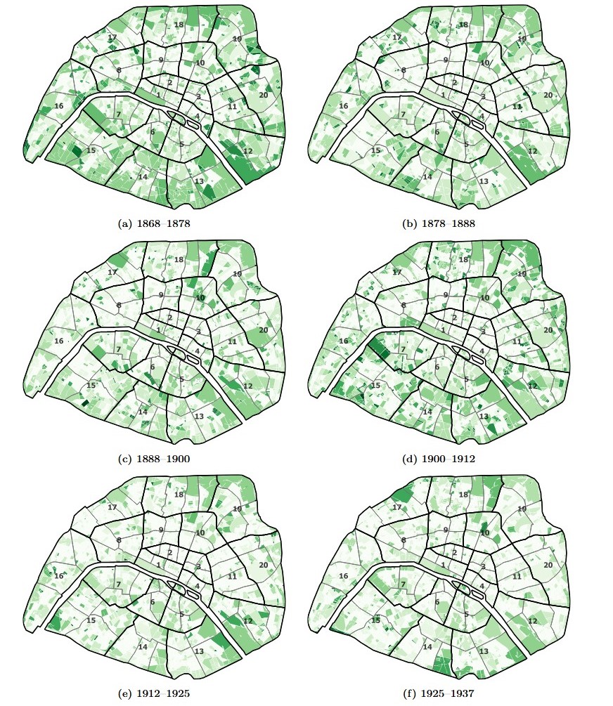
Deep learning enables urban change profiling through alignment of historical maps
Sidi Wu, Yizi Chen, Maurizio Gribaudi, Konrad Schindler, Clément Mallet, Julien Perret, Lorenz Hurni Nature Communications (Accepted), 2026 paper Integrating dense image alignment to detect urban changes from large collections of historical maps, showcased with a case study of Paris from 1868 to 1937. |
|
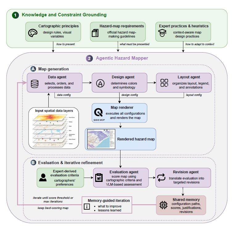
Agentic Hazard Mapper: Emulating Expert Map-Making with AI Agents for Risk Communication
Sidi Wu, Lifeng Lin, Yizi Chen, Anna Yokokubo, Lorenz Hurni Arxiv, 2026 paper Developing a multi-agent system that emulates expert map-making knowledge, workflow, and preferences for hazard visualization and risk communication. |
|
Order Matters: 3D Shape Generation from Sequential VR Sketches
Yizi Chen*, Sidi Wu*, Tianyi Xiao, Nina Wiedemann, Loic Landrieu IEEE/CVF Conference on Computer Vision and Pattern Recognition (CVPR), 2026 project page / paper Automatically generating 3D shapes from freehand VR sketches using sequence-aware models for AI-assisted design. |
|
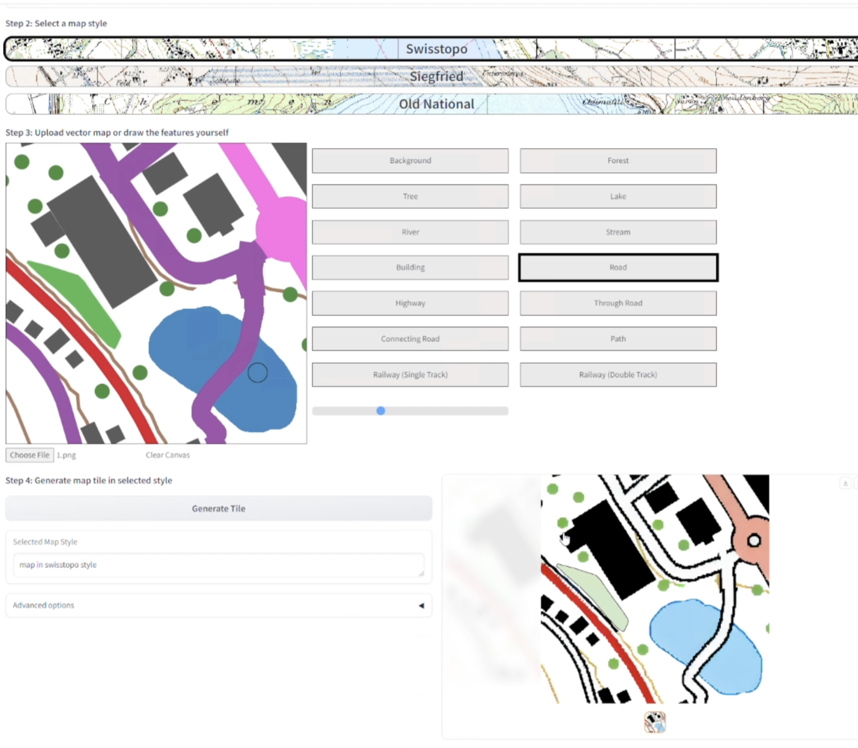
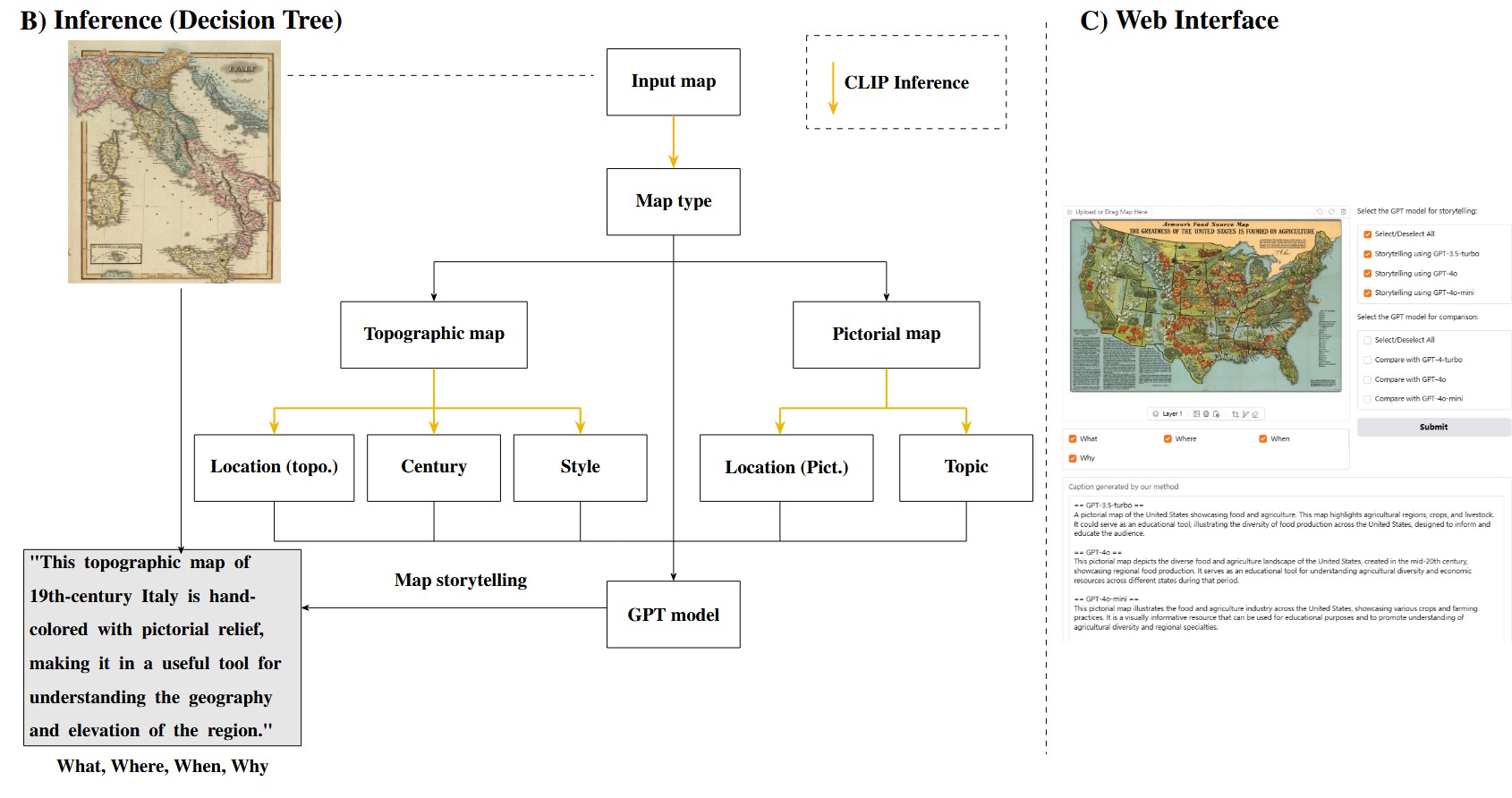
Generative AI in Map-Making: A Technical Exploration and Its Implications for Cartographers
Claudio Affolter, Sidi Wu#, Lorenz Hurni, Yizi Chen ACM SIGSPATIAL, 2025 (Oral Presentation) project page / paper / demo Adapting diffusion models to generate maps in different styles with an interactive web interface, and discussing implications of generative AI through user studies with professional cartographers. Master thesis supervision at ETH Zurich (Awarded ETH Medal, top 2.5%). |
|
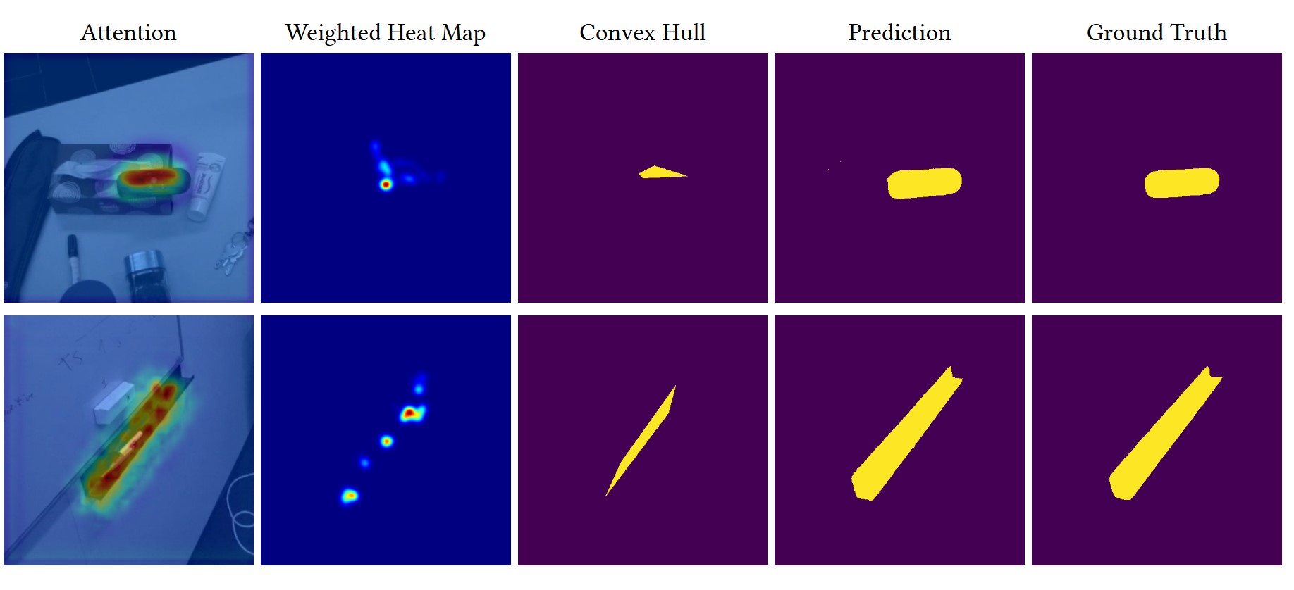
An Efficient System for Automatic Map Storytelling: A Case Study on Historical Maps
Ziyi Liu*, Claudio Affolter*, Sidi Wu#, Yizi Chen, Lorenz Hurni AGILE, 2025 (Oral Presentation) paper Combining LLMs and domain-specific CLIP models for map storytelling. Master project supervision at ETH Zurich. |
|
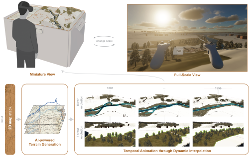
Leveraging Temporal Gaze Patterns for Intelligent Segmentation in Mobile Eye-Tracking
Shupeng Wang*, Yizi Chen*, Sidi Wu, Peter Kiefer, Martin Raubal ACM Computer Graphics and Interactive Techniques, 2025 paper Integrating temporal gaze features to improve the segmentation accuracy for automatic annotations of mobile eye-tracking data. |
|
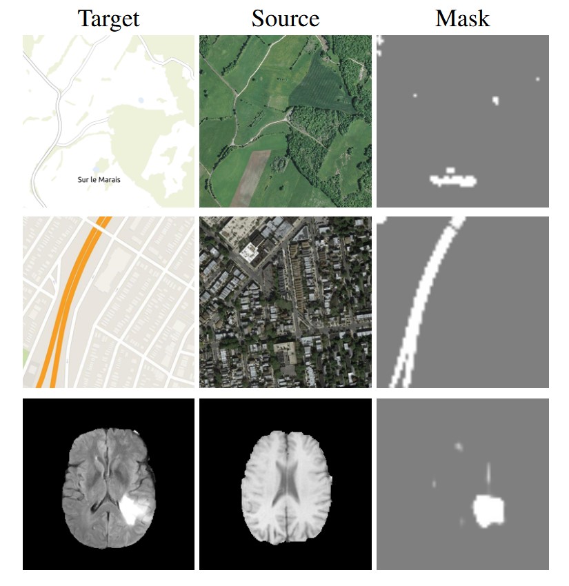
AI-Powered Interactive Visualization for Landscape Evolution in Virtual Reality
Mischa Bauckhage, Sidi Wu#, Tianyi Xiao, Yizi Chen, Jiakun Xu, Martin Raubal, Lorenz Hurni Under Review paper AI-powered spatial-temporal reconstruction of landscapes in virtual reality, with user studies investigating how the system assists the understanding of landscape evolution. Master thesis supervision at ETH Zurich. |
|
StegoGAN: Leveraging Steganography for Non-bijective Image-to-Image Translation
Sidi Wu*, Yizi Chen*, Samuel Mermet, Lorenz Hurni, Konrad Schindler, Nicolas Gonthier, Loic Landrieu IEEE/CVF Conference on Computer Vision and Pattern Recognition (CVPR), 2024 project page / paper Defining, detecting, and mitigating mismatches during image-to-image translation, which is often overlooked in well-curated benchmark datasets. |
|
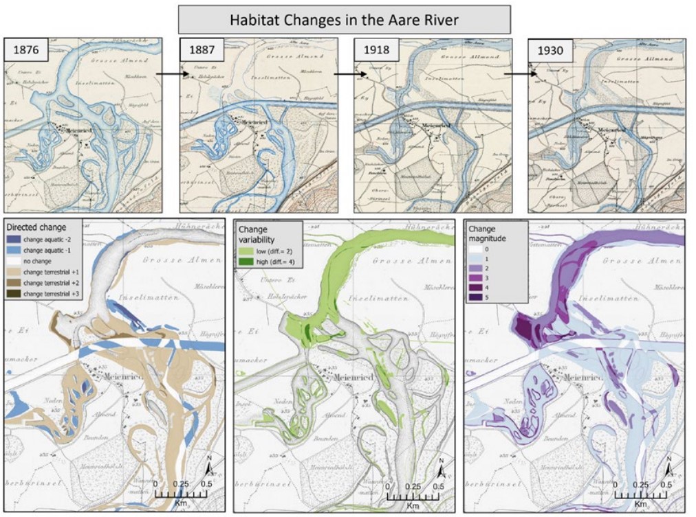
Exploring river ecosystems and their dynamics through digitised historical maps
Marta Antonelli, Victoria Scherelis, Sidi Wu, Patrick Laube, Michael Döring, Lorenz Hurni, Magnus Heitzler, Christine Weber Wasser Energie Luft, 2024 paper Analyzing the river and ecosystem dynamics from 1876 to 1930 based on historical maps. |
|
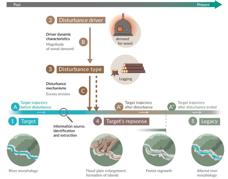
Identifying anthropogenic legacy in freshwater ecosystems
Marta Antonelli, Patrick Laube, Michael Doering, Victoria Scherelis, Sidi Wu, Lorenz Hurni, Magnus Heitzler, Christine Weber Wiley Interdisciplinary Reviews: Water, 2024 paper Defining and identifying anthropogenic legacy in freshwater ecosystems by integrating both historical and contemporary data. |
|
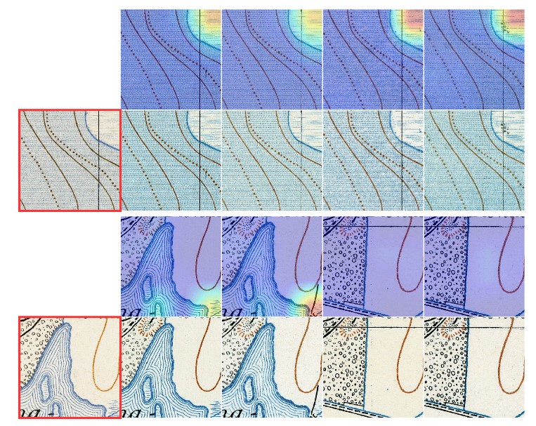
Cross-attention Spatio-temporal Context Transformer for Semantic Segmentation of Historical Maps
Sidi Wu*, Yizi Chen*, Konrad Schindler, Lorenz Hurni, ACM SIGSPATIAL, 2023 (Oral Presentation) project page / paper Aggregating spatial-temporal context for historical map segmentation especially for cases with degraded graphic quality. |
|
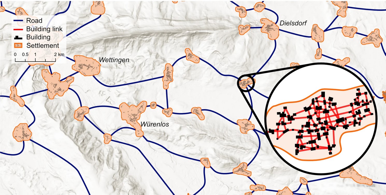
Settlement relationships and their morphological homogeneity across time and scale
Yves M Räth, Adrienne Grêt-Regamey, Chenjing Jiao, Sidi Wu, Maarten J van Strien Scientific Reports, 2023 paper Analyzing long-term evolutions of road network and settlement patterns in the past 120 years. |
|
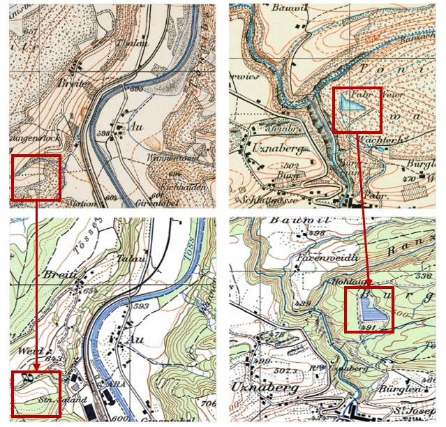
Domain adaptation in segmenting historical maps: A weakly supervised approach through spatial co-occurrence
Sidi Wu, Konrad Schindler, Magnus Heiztler Lorenz Hurni ISPRS Journal of Photogrammetry and Remote Sensing, 2023 paper Adapting segmentation models across different map styles by leveraging spatial co-occurrence of map features. |
|
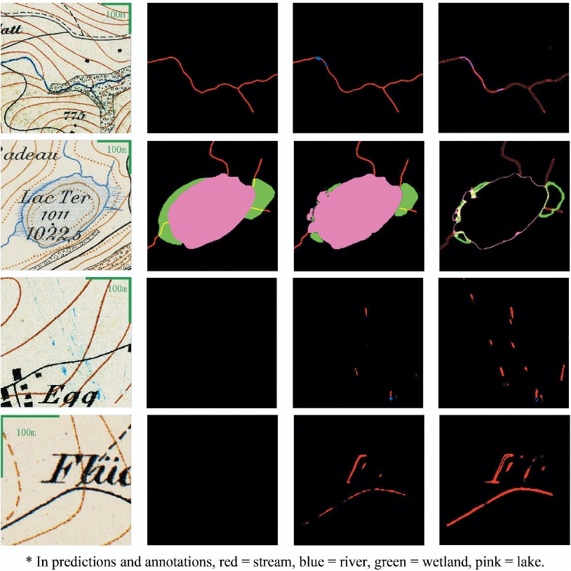
Leveraging uncertainty estimation and spatial pyramid pooling for extracting hydrological features from scanned historical topographic maps
Sidi Wu, Magnus Heitzler, Lorenz_Hurni GIScience & Remote Sensing, 2022 paper Modelling uncertainty in historical map segmentation and leveraging it to improve the extraction of hydrological features. |
Academic Services
|